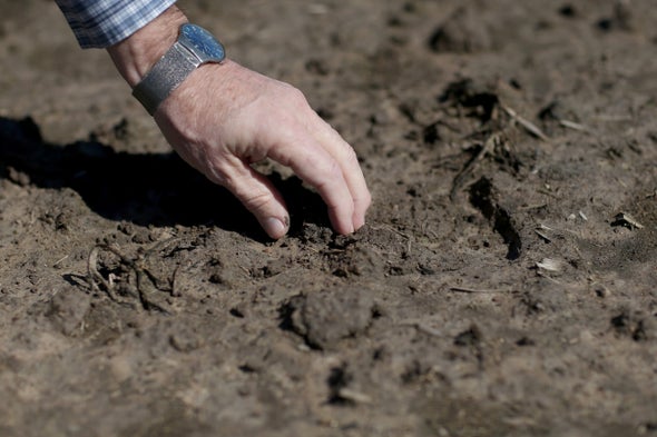
Experts say a flash drought often begins as a pin-sized swelter
in one county, then expands like an amoeba across the landscape. The droughts
are often accompanied by erratic precipitation over sharply defined geographic
areas. The downpours can be extraordinarily intense, just as climate change is
transforming routine rain events into mega-storms.
On
Luebehusen’s drought map for Sept. 24, two small areas popped out like red ripe
tomatoes in Shelby County, Ala., and Dallas County, Texas. Both were
experiencing “extreme drought,” one category shy of the highest rung on the
drought severity scale. In Shelby County, a fast-growing suburb of Birmingham,
more than 200,000 people experienced near-record temperatures and extreme
dryness, what scientists call D3 drought. Less than 30 miles away, Birmingham
was at D0, or “abnormally dry,” but not in drought.
The same thing happened in Texas, where moisture and temperature
gauges in Dallas County measured dangerously dry conditions, while seven
surrounding counties were not in a drought.

“Why
do you see a bright red county [on the map] and then a white blob three
counties away? That’s a flash drought beginning to form,” said Mark Svoboda,
director of the National Drought Mitigation Center at the University of
Nebraska, Lincoln. “It’s a rapid change in temperature, in evapotranspiration
and in soil moisture.”
Svoboda
said droughts didn’t always behave this way. The term “flash drought” first
appeared in a 2001 research paper by Svoboda and was not widely used until
after 2012, when a fast-forming drought enveloped the Great Plains, he said.
And yet some conditions that make a “flash drought” are not new.
In the Gulf South, dry conditions can form and dissipate quickly, especially in
late summer and early fall. The same is true of thunderstorms, which can form
over tightly drawn areas and miss nearby areas—sometimes within a
mile—altogether.
No comments:
Post a Comment