Michael's Comes Ashore; Significant Danger Remains
October 10, 2018

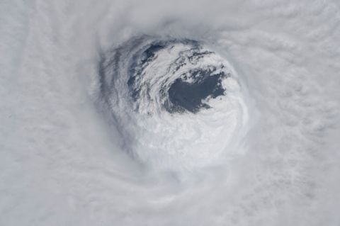
Hurricane Michael, now ashore, is battering Florida Panhandle, southwestern Georgia and southeastern Alabama. Life-threatening storm surge continues along the Florida coastline with hurricane-force winds and heavy rain found across western Florida, southwestern Georgia and southern Alabama.
As of 1 p.m. CDT, Michael had maximum sustained winds of 155 mph, making it a very strong Category 4 hurricane. It was located near 30.0 N and 85.5 W, or about 5 miles northwest of Mexico Beach, Fla., and 20 miles southeast of Panama City, Fla. The hurricane is moving north-northeast at 14 mph with a minimum central pressure of 919 mb, or 27.14 inches of mercury.

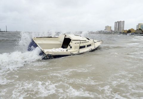
Quietwater beach
Hurricane Warnings are in effect from the Alabama and Florida border to Suwannee River, Fla. Tropical Storm Warnings are in effect from the from the Suwanee River in Florida to Chassahowitzka, Fla., as well as from Fernandina Beach, Fla., to Duck, N.C..
There is also a severe thunderstorm threat within Michael's bands of heavy rain, with a Tornado Watch in effect across the central and eastern Florida Panhandle and southwestern Georgia. This includes Panama City and Tallahassee, Fla. and Albany, Ga.
Hurricane Michael has likely reached its peak intensity now that it is pushing ashore. Even after landfall, Michael will stay an extremely powerful storm that may produce destructive winds far inland, even as it gradually weakens.
The strongest winds and greatest storm surge will occur east of the eye of the storm, with storm surge between 9 to 14 feet possible across the Florida Panhandle. Heavy rain will produce localized flooding across much of the eastern Gulf Coast, northern Florida, and through the Southeast U.S. today and Thursday.
If you are in the potential path of this storm, listen to local officials and hunker down for Michael’s weather. Local officials will not be able to send emergency vehicles to rescue residents during the height of the storm.

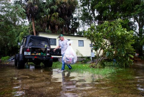
st. marks, florida
No comments:
Post a Comment