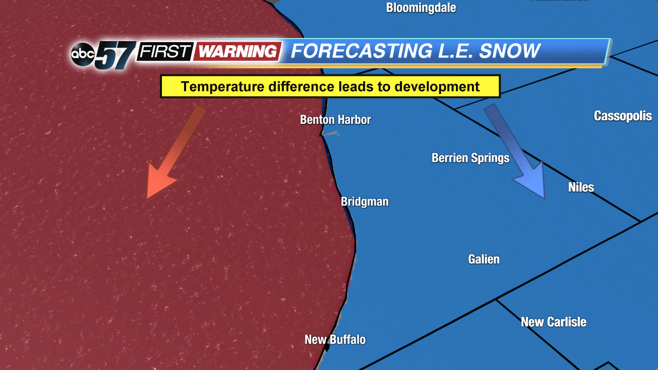
Lake effect snow can be tricky to forecast as far as the exact location of the heaviest bands and amounts, but all lake effect forms in the same way. First, we need a "warmer" lake, or at least one where water temperatures are warmer than the surrounding air. The air just above the warmer water surface will want to rise, since it's less dense, and it interacts with colder air blowing over the lake. The rising air then cools, condenses, and forms clouds. In certain situations, the air will continue to rise, cool, and condense enough to form snow. Lastly, the cold air blowing over the lake continues to push those lake effect clouds and snow showers onshore, where they dump all of that snow.
Now, not every situation can create lake effect snow, but we have clues the atmosphere leaves behind to help give us the hint. First, we obviously need a big temperature difference between the land and the water.

No comments:
Post a Comment