October 16 2013
Colorado Flash Flooding: How It Happened, How Unusual?
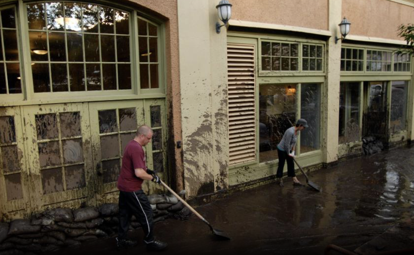
A collection of ingredients came together to produce a destructive, deadly flash flood event in northern Colorado, including Boulder and parts of the Denver metro areas in mid-September, 2013.
First, the ground was saturated with heavy rainfall both on Sept. 9 and 10. Radar estimates suggest parts of the Front Range, including the Denver metro, picked up well over 1 inch of rain each afternoon and evening. Street flooding was particularly severe Tuesday in the east Denver metro, including Aurora.
The atmospheric setup at right consisted of an upper-level low pressure center over the Great Basin, blocked from moving east or north by a large dome of high pressure aloft over the Pacific Northwest and southwest Canada. Winds aloft were spreading apart, enhancing lift in the atmosphere for rain and thunderstorms.
This low pressure circulation tapped a plume of moisture from the Pacific Ocean off western Mexico into northern Colorado.
Finally, winds 15,000 feet above the ground were generally blowing from southeast to northwest and were light. This means the relatively low-topped rain and thunderstorms could not move off the Foothills and Front Range from west to east, but instead "trained" or lingered along or near the Foothills and Front Range Urban Corridor. This is a classic scenario for major flooding in northern Colorado.
From the afternoon of September 9 through midday on September 13, 14.62 inches of rain had fallen in Boulder, Colo. This included an incredible 9.08 inches of rain on September 12, alone!
https://weather.com/storms/severe/news/colorado-flash-flood-how-it-happened-unusual-20130912
No comments:
Post a Comment