Friday, November 30, 2018

Alaska quake causes 'severe damage', triggers tsunami warning

A tsunami warning was issued for the coastal areas of Alaska in Cook Inlet and the southern area of Kenai Peninsula after being hit by a 7.2 magnitude earthquake early Friday morning (11/30/2018). The earthquakes initial magnitude was 7.2 with aftershock effects of 5.8 and 6.6; which triggered the tsunami alert. The quake was reported to have caused severe damage to roads and buckled on-ramps, causing many drivers to be trapped on the roads. Collapsed bridges, power outages, cracked and damaged buildings, and burst pipes were also reported by residents. News media station KTVA lost its signal due to the effects of the quake. This is a developing story.


Source: https://www.rt.com/usa/445277-tsunami-warning-anchorage-alaska/


Thursday, November 29, 2018

Airplanes Cause Snow to Develop Near Chicago

Tuesdays burst of heavy snow was likely caused by airplanes making landing in Chicago. According to an article on weather.com, flight tracking on Tuesday showed evidence of flights making a loop for landing over Lake Michigan in approximately the same spot where doppler radar picked up a pocket of snow and precipitation. In a process called inadvertent cloud seeding, planes descended for landing  through water-laden clouds in temperatures below freezing. The airplanes caused the formation of ice and ice crystals to happen as they passed through altocumulus clouds. These formations are rare.
https://weather.com/news/news/2018-11-28-chicago-lake-michigan-airplanes-snow

Severe Storms Expected in Southern US

Severe weather is expected to happen in southern United States. According to accuweather.com, a warm air surge will emerge out of the Golf of Mexico during the end of this week. This warm air will mix with the incoming store system and create conditions for severe weather in states like Texas, Louisiana, Tennessee, Arkansas, Missouri, and southern Illinois. Temperatures are expected to rise dramatically, for example, Little Rock will have a low of 25 degrees on Tuesday night, but reach a high in the 70s the next day. The peak of the severe weather is expected to occur on Friday night, with high wind speeds and low visibility. Tornadoes are also a possibility, and will likely have a greater chance at forming during the evening.
static severe 11/29 am
https://www.accuweather.com/en/weather-news/southern-us-warmup-to-fuel-severe-weather-event-through-friday-night/70006755

Southern US warmup to fuel severe weather event through Friday night

A warm and stormy end to the week will threaten damaging winds, flooding rain and even a few tornadoes as storms tear through the Mississippi Valley. 
Warm air will surge out of the Gulf of Mexico and into the region through the end of the week. After bottoming out at 25 degrees Fahrenheit on Tuesday morning, temperatures in Little Rock will soar into the 70s F on Thursday and Friday. 
This warmth will combine with an incoming storm system to create a favorable setup for severe weather late on Friday, according to AccuWeather Storm Warning Meteorologist Brian Adams.
The impacted region will include "areas from the eastern Plains across the lower Mississippi Valley and into portions of the Ohio River Valley," he said. 
static severe 11/29 am

Sydney suffers heaviest rainfall in years amid extreme weather across Australia

Heavy rainfall flooded roads and train stations across Sydney on Wednesday as Australia's largest city suffered its heaviest November downpour in 34 years.
More than 100 mm (four inches) of rain fell in less than 24 hours across the city, leaving morning commuters trudging through inundated subways on their way into work.
A severe thunderstorm warning was issued by the Bureau of Meteorology on Wednesday for the city and surrounding areas, while some trains and ferry services were canceled.
Stunned Sydney residents posted photos and videos to social media, some of which showed cars driving through rising flood waters as high their car windshields.
    "We have a low pressure system which is lingering over the coast and this has caused quite a lot of significant weather events over New South Wales generally," meteorologist with the Bureau of Meteorology Rosemary Barr told CNN.
    A man walks in high winds on November 28 in Sydney, Australia.

    Tuesday, November 27, 2018

    Climate simulations project wetter, windier hurricanes


    The study, "Anthropogenic Influences on Major Tropical Cyclone Events," will be published November 15 in the journal Nature. To reach their conclusions Berkeley Lab researchers Christina Patricola and Michael Wehner modeled 15 historical tropical cyclones, or hurricanes, as they are called in the Atlantic, and simulated them in various past and projected future climate scenarios. The purpose of the study was to examine how warming caused by human activities may have impacted these storms and could affect similar storms in the future.
    "We're already starting to see anthropogenic factors influencing tropical cyclone rainfall," said Patricola, a scientist in Berkeley Lab's Earth and Environmental Sciences Area and lead author of the study. "And our simulations strongly indicate that as time goes on we can expect to see even greater increases in rainfall."
    Patricola chose 15 tropical cyclones that have occurred over the last decade across the globe -- including the Atlantic, Pacific, and Indian Oceans -- and ran high-resolution climate simulations of those storms in different scenarios, varying factors such as air and ocean temperatures, humidity, and greenhouse gas concentrations. "It is difficult to unravel how climate change may be influencing tropical cyclones using observations alone because records before the satellite-era are incomplete and natural variability in tropical cyclones is large," she said.
    https://www.sciencedaily.com/releases/2018/11/181114132019.htm

    Snow Storm Slams Midwest, Causes Thousands Of Flights To Be Canceled

    Snow Storm Slams Midwest, Causes Thousands Of Flights To Be Canceled

    A plow clears snow from Road 438 in Douglas County near Lawrence, Kan., on Sunday. The area is under a blizzard warning.
    Orlin Wagner/AP
    A snow storm has created whiteout conditions across Kansas on Sunday, prompting blizzard warnings as it was projected to travel north through the Midwest and into New England this week, according to the National Weather Service.
    The storm caused major cancellations at Kansas City and Chicago airports, during a weekend that the AAA projected would see the highest travel volume in more than a dozen years as people return home after Thanksgiving.
    The storm will continue into northwest Missouri, northern Illinois and southeast Wisconsin before heading into New England, bringing dangerous blizzard conditions in its path, the NWS says.
    More than 1,270 flights nationwide were canceled on Sunday. Nearly 5,000 more have been delayed into Monday morning.
    Chicago's O'Hare airport, a hub for the entire Midwest, saw mass cancellations — 801 arriving and departing flights were canceled on Sunday, with more than 300 others delayed.
    However, Newsweek reports that it set a daily snowfall record of 5.3 inches in Kansas City, noting that the previous record of 3.9 inches was set in 1895.
    "The National Weather Service said Kansas City International Airport received 5.3 inches, but totals ranged across the region," reports member station KCUR
    "The blizzard warning, which the NWS said was the first in Kansas City since Jan. 31, 2011, stretched south from the Missouri state line to Olathe, west to beyond Topeka and east to Macon, Missouri."
    Article continues after this message from our sponsor
    The storm shut down 235 miles of Interstate 70 in Kansas for several hours on Sunday, as well as a portion of Interstate 29 from Mound City, Missouri, to the state's border with Iowa.
    By Sunday afternoon, Kansas Gov. Jeff Colyer declared a state of emergency. "We strongly recommend that you postpone travel plans," the Republican said in a statement, noting gusting winds and whiteout conditions.
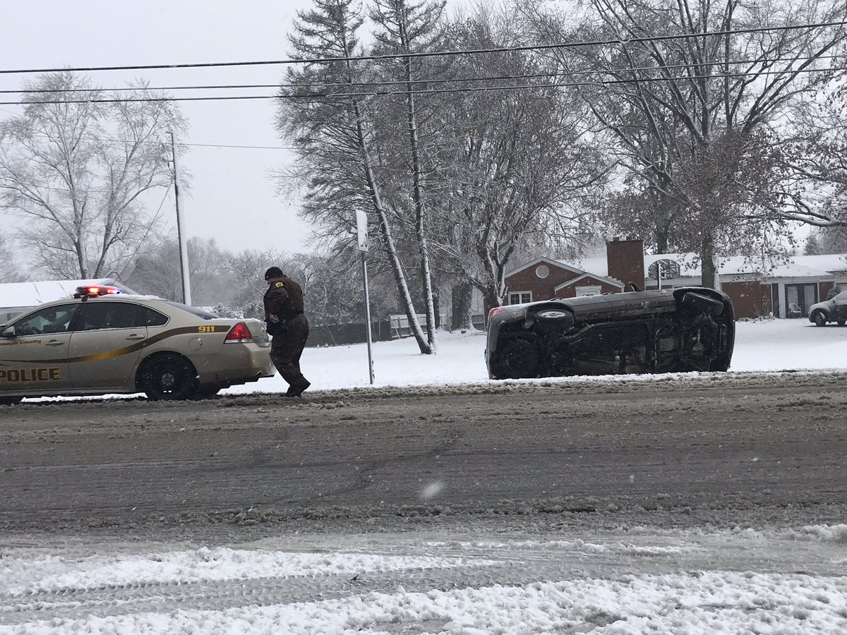
    The Kansas Division of Emergency Management has received multiple reports of drivers abandoning vehicles stuck in the snow.
    "Road crews may not see you due to visibility issues. Stay in your vehicle," Colyer said.
    According to the statement, the Kansas National Guard has dispatched nine Stranded Motorists Assistance Response Teams throughout the state.
    Other snow totals throughout the state are still being measured, the Kansas City Star reportsPreliminary data from the NWS says different parts of the state received between 2 to 12 inches of snow.
    Over 67,000 power outages occurred throughout Kansas thanks to powerful wind gusts of over 55 mph that knocked down power lines, with Atchison, Leavenworth and Ottawa the hardest-hit areas, according to KCUR.
    As the storm passed through Kansas on Sunday evening, the National Weather Service lifted blizzard warnings from the state and declared them in parts of northeast Missouri, including St. Louis, north Illinois, including Chicago, and southeast Wisconsin.


    (Posted by Ciela Marie Acala)

    Late-Week Storm Could Bring Severe Weather to South and Spread More Snow Across the Plains and Midwest (Posted by Ciela Marie Acala)

    At a Glance

    • A widespread storm system will affect the central and eastern states Friday into this weekend.
    • The South could get strong thunderstorms and heavy rain.
    • Snow is possible on the storm's northern fringe in the Plains and upper Midwest.
    An expansive weekend storm system may ignite severe weather and heavy rain in the South while laying down another blanket of snow across a broad swath of the Plains and Midwest as we transition from November to December.
    After pushing into California on Thursday, a potent jet stream disturbance will move through the southern Rockies and into the southern Plains by Friday, prompting an area of low pressure to develop in the Plains.
    That low-pressure system will then track northeastward through the central and eastern states, triggering widespread rain and thunderstorms as it pulls in mild and moist air streaming northward from the Gulf of Mexico. This setup could also be favorable for severe storms, particularly in the South.
    On the northern fringe of the low-pressure system, there might be just enough cold air for some wintry weather as well.
    image
    A strong area of low pressure will pull moisture northward into the South and Ohio Valley, fueling widespread rain and thunderstorms. Enough cold air may be in place for snow in parts of the Plains and upper Midwest.

    It's a bit too early to pinpoint specific details on this next storm system, but here's a general overview of the forecast. Keep in mind that changes are likely the next few days.

    Friday-Friday Night

    - The area of low pressure will begin to organize over the southern Plains by later Friday.
    - This will likely lead to the development of numerous showers and thunderstorms from the Mississippi Valley to the northern Gulf Coast, spreading into the Lower Ohio Valley at night.
    - NOAA's Storm Prediction Center (SPC) has highlighted an area from northeast Texas into northern Louisiana, southern Arkansas and west-central Mississippi for the highest chance of severe storms Friday and Friday night. Those storms could pack damaging winds and tornadoes, according to the SPC.
    - Snow will be falling over much of the Rockies and could spread into parts of the northern Plains, dependent on how much moisture overlaps with cold air.
    image
    Friday Night's Outlook
    (The green shadings depict where rain and thunderstorms are possible. Areas that are shaded blue could see snow. Purple-shaded locations may see a mix of snow and rain. Areas in pink may see sleet or freezing rain (ice).)

    Saturday

    - The storm system will continue to track northeastward through the Midwest and South to begin the weekend.
    - Widespread rain and thunderstorms might affect an area from the Deep South northward to the Ohio Valley, Great Lakes and East.
    - This may include a threat of severe storms in parts of the South.
    - Snow or a rain-and-snow mixture could affect parts of the northern/central Plains and upper Midwest. Some snow could spread into northern New England Saturday night.
    image
    Saturday's Outlook
    (The green shadings depict where rain and thunderstorms are possible. Areas that are shaded blue could see snow. Purple-shaded locations may see a mix of snow and rain. Areas in pink may see sleet or freezing rain (ice).)

    Sunday

    - A soggy end to the weekend looks likely in the eastern states as the storm system moves farther east.
    - Snow will likely fall over northern New England.
    - Some lingering snow is possible in the Upper Midwest or Great Lakes.
    - A second round of snow may take shape by Sunday in the Plains, potentially spreading into the Upper Midwest and Great Lakes early next week.
    image
    Sunday's Outlook
    (The green shadings depict where rain and thunderstorms are possible. Areas that are shaded blue could see snow. Purple-shaded locations may see a mix of snow and rain. Areas in pink may see sleet or freezing rain (ice).)

    Check back with weather.com throughout this week for more specifics on the possibility of severe storms in the South and snow in the nation's northern tier.


    Posted By: Ciela Marie Acala
    The Weather Company’s primary journalistic mission is to report on breaking weather news, the environment and the importance of science to our lives. This story does not necessarily represent the position of our parent company, IBM

    Kat West "Southern US to be put on alert for upcoming severe weather"


    https://www.accuweather.com/en/weather-news/southern-us-to-be-put-on-alert-for-upcoming-severe-weather/70006725

    "Storms look to first develop later Friday afternoon, with the greatest storm coverage expected overnight," Adams said.
    Strong storms could impact after-school events or interfere with bus rides home. The evening commute across these areas could be slowed or endangered by storms, as well.
    The severe threat will shift eastward through Friday night, putting the populations of Mississippi, southern Tennessee, Alabama and the western Florida Panhandle on alert.
    "Damaging winds will be the primary concerns for much of the event, with heavy rain and flooding becoming the main concerns overnight into Saturday morning, especially across areas receiving multiple rounds of storms," Adams warned.
    However, a few tornadoes cannot be ruled out. A significant part of the tornado risk will extend to after dark on Friday, which is a heightened risk.
    Static Friday Severe

    Kat West "Chicago Weather: After snowstorm, temperatures to drop to single digits in some Chicago suburbs"

    https://abc7chicago.com/weather/after-snowstorm-temps-to-drop-to-single-digits-in-some-chicago-suburbs/4764478/

    This storm produced the fifth-largest November snowfall in Chicago's history, with 8.4 inches falling at O'Hare International Airport as of late Monday afternoon. The largest two-day snowfall the city has seen in the month of November happened in 1895, when Chicago got a foot of snow from Nov. 25 to 26.

    Other major November snowstorm totals in Chicago were:
    -11.2 inches in 2015
    -9.3 inches in 1951
    -8.9 inches in 1975

    Winter Storm Bruce: 1 Dead In Maine Crash; Nearly 3,000 Flights Canceled

    One person was killed in a vehicular crash in Maine Tuesday morning as a result of Winter Storm Bruce, State police said the unidentified person was killed near Liberty in a crash that occurred around 9:30 a.m. local time. The crash involved two trucks, a pickup truck and a box truck.
    Meanwhile, nearly 3,000 flights were canceled during two of the busiest travel days of the year as Winter Storm Bruce barrelled towards New England, leaving thousands stranded.

    The storm pushed into New England early Tuesday, closing schools and businesses and bringing wet heavy snow that downed some trees and power lines. More than 71,000 customers tracked in Maine, Vermont and New Hampshire were without power Tuesday morning, according to poweroutage.us.

    Nationwide, more than 2,875 flights were canceled Sunday and Monday, according to FlightAware. More than 2,000 of the cancellations occurred at Chicago's O'Hare International Airport, where more than eight inches fell. Chicago's Midway International and Kansas City International saw the greater portion of their cancelations Sunday but had lingering issues into Monday morning.

    In Michigan, a 48-year-old woman was killed when she lost control of her car on M-66 made slick by ice Monday morning in Ionia County, Michigan State Police announced. The driver's car slid sideways into the path of a pickup truck. No one else was injured in the crash.

    As of Tuesday morning, more than 47,000 tracked customers remained without power in Illinois, according to PowerOutage.us.


     https://weather.com/storms/winter/news/2018-11-25-winter-storm-bruce-impacts-travel