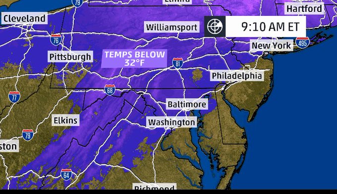
Winter Storm Avery's timing and unexpected amounts couldn't have been worse for commuters in New York City area on Thursday. The snow was heavy and arrived in the late afternoon and early evening. Drivers navigating the first snow of the season clogged roads and got into accidents. Trees came down on streets and added to the gridlock. Public transportation slowed to a crawl. The Port Authority Bus Terminal had to partially close because of delays and overcrowding. Rail switches froze for trains. The commute home took up to 10 hours for some.
As is often the case, forecasting the precipitation type and amount near the Interstate-95 corridor was tricky.
But why did the city receive several inches more than predicted earlier Thursday?
Blame the cold air that stuck around longer and delayed the changeover to rain and the storm's slow progress.
The area of low pressure that developed near the North Carolina coast tracked northward slower and was also weaker than expected. As a result, it was not able to scour out the cold air as early as predicted.
No comments:
Post a Comment