By Eric Zerkel
Published: September 29, 2014
Scientists announced Monday that human-caused climate change contributed to and/or amplified nine of 2013's most extreme weather events, making one of the most definitive statements yet on the direct link between individual weather extremes and human-induced climate change.
In a new report released in the Bulletin of the American Meteorological Society (BAMS) and organized by the National Oceanic Atmospheric Administration (NOAA), 20 different groups of scientists studied how 16 extreme weather events came to fruition in 2013. In their analyses, the different groups conducted independent peer-reviewed scientific studies on the same events with the hope of sorting out human influences from natural variation in climate and weather.
The report found strong evidence that human-caused climate change -- particularly the burning of fossil fuels -- amplified temperature related events, including five heat waves across the globe. Less compelling evidence linked humans to the drought in California. On the other hand, the report found no link between humans and Winter Storm Atlas,
which dumped up to 55 inches of snow on South Dakota last October, heavy rain in Colorado
that flooded more than a dozen cities in and around the Denver metro area and heavy rain and flooding events in Europe.
The scientists hope that the report will help bridge the gap between the public, which sometimes incorrectly correlates weather events with climate change, and the science community, which looks to provide a scientific foundation to the link between the two.
Here are some notable highlights for some of the extreme events:
Australia, Japan, China and Korea's Heat Waves
Of all the events the various studies analyzed in the report, scientists were the most adamant about the link between human-caused climate change and a rash of extreme heat waves in 2013.
"The findings indicate that human-caused climate change greatly increased the risk for the extreme heat waves assessed in this report," the report's authors said in part.
For instance, Australia experienced the hottest year on record in more than a century, prompting the country's meteorological bureau
to adjust the color scale on its maps to incorporate more extreme temperatures, Mashable reports. All three independent studies on Australia linked the event to human-induced climate change.
Speaking on the event,
Peter Stott of the U.K.'s meteorology office, one of the study's editors, told the Associated Press that "it's almost impossible" to explain the event without human-induced climate change.
Other examples took the human link a step further, hinting at the future of more extreme temperature highs in the decades to come. That example came from Korea, which experienced one of its hottest summers on record in 2013. Temperatures there were the warmest in more than 50 years, sparking a massive energy demand
that crippled the country's power supply, the Wall Street Journal notes.
The team of scientists that studied the Korean heat wave not only linked the warm temperatures directly to emissions from human sources, but also said that extremely warm summers are now 10 times more likely in Korea than they were before humans entered the fold.
"We find that a strong long-term increasing trend in the observed SST [Sea Surface Temperatures] near northern East Asia during the past 60 years cannot be explained without the inclusion of recent human-induced greenhouse gas forcing," the study concluded in part.
California's Drought
Three separate studies analyzed California's ongoing
worst drought on record and two of them found no evidence directly linking humans to the event. However, the first study, led by Daniel Swain of Stanford University, did find that the same atmospheric conditions -- namely an exceptional ridge of high pressure that parked over the Northern Pacific starting in January 2013 and was dubbed the "Ridiculously Resilient Ridge" -- that led to California's drought "occur much more frequently in the present climate than in the absence of human emissions."
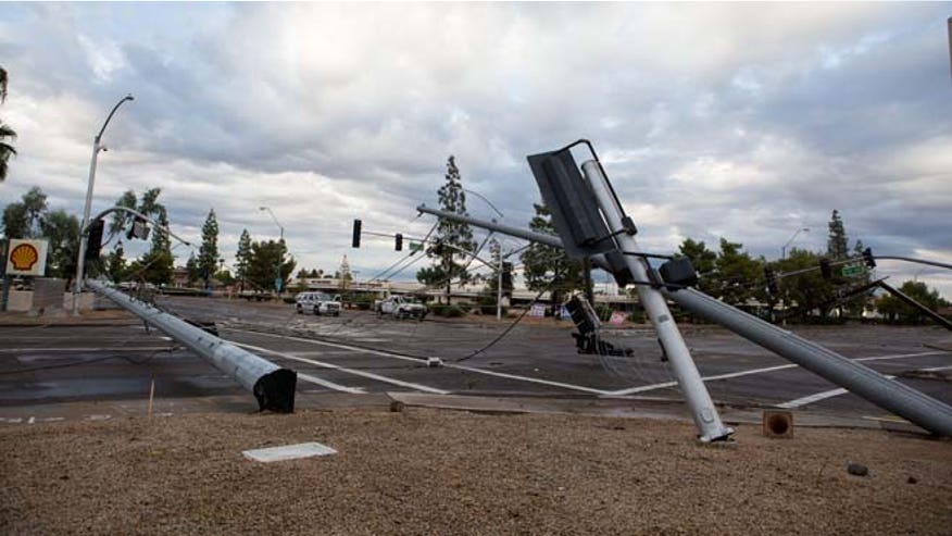
Winter Storm Atlas and South Dakota/Colorado's Extreme Rainfall
While authors of the individual studies analayzing both of these events didn't directly link humans to their occurrence, the studies did find that human-induced climate change would actually make extreme precipitation events like these less likely in both areas in the coming years. However, the authors of the study on Colorado's rain and flooding were quick to note that though an area like Colorado is less likely to see extreme rainfall like 2013's event, the globe as a whole is forecast to experience more extreme rainfall events by the end of the century.