Story Highlights
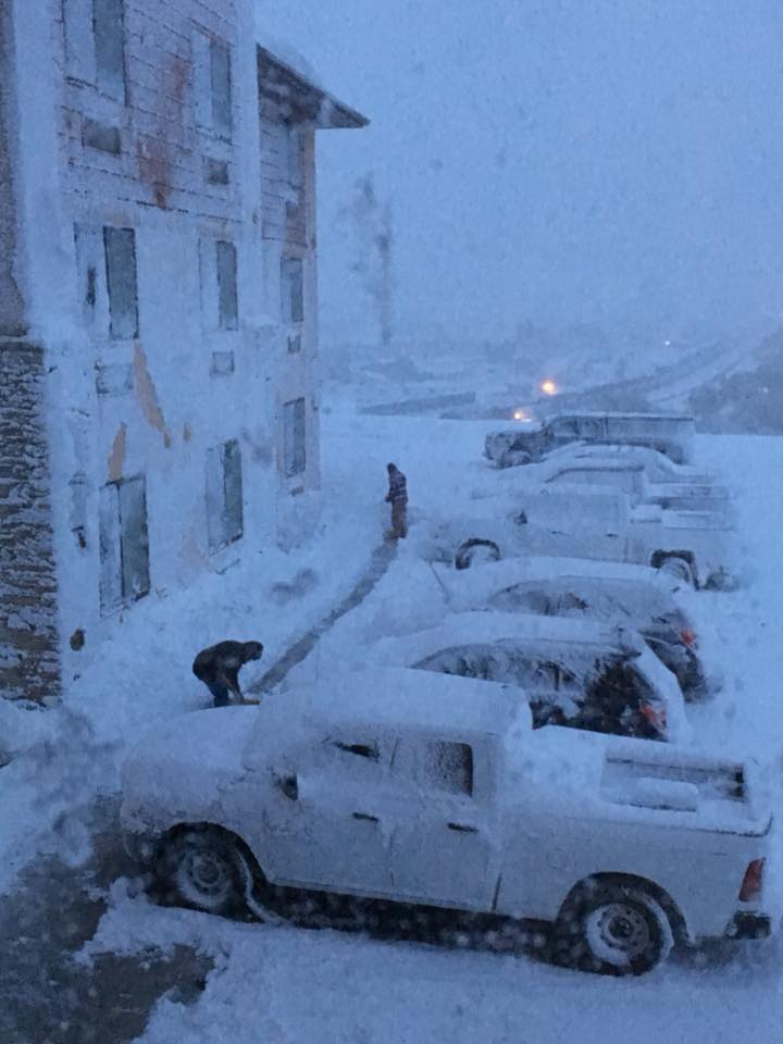
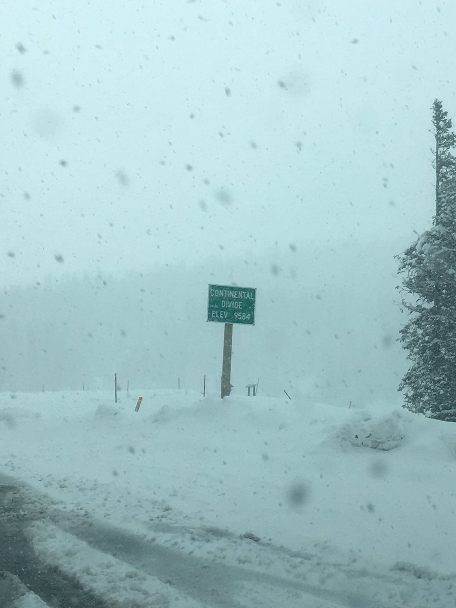
The first blizzard of the season resulted in widespread power outages and downed trees in parts of Montana. Treacherous travel conditions and additional power outages were also observed across other portions of the northern and central Rockies as an early-season snowstorm swept through the region.
(MORE: Winter Storm Central)
Unlike the snow the Rockies experienced in September, this storm had a greater impact since valley locations were also affected, in addition to typical mountain areas.
Havre, Montana, had seen 13 inches of heavy, wet snow as of late Tuesday afternoon, which set a new record for heaviest two-day October snowfall total at the Havre City-County Airport. The previous two-day October record was 12.6 inches, which was set in 1898. Due to power outages, further investigation will be needed to determine if any daily records were broken in Havre.
Many large tree branches were downed, and all of Havre was without power, the Hill County Sheriff reported around 10 p.m. MDT Monday.
According to the National Weather Service in Great Falls, Montana, this storm was effectively a blizzard in the Havre area, especially considering the severe impacts. A blizzard occurs when the following conditions are met for at least three consecutive hours: sustained winds or frequent gusts to at least 35 mph and considerable falling and/or blowing snow that frequently reduces visibility to less than a quarter mile.
Elsewhere, Zortman, Montana set a new one day record for October with 14 inches of snow reported Tuesday morning.
While not a record, Missoula, Montana recorded .10 inches of snow Monday night, which is the earliest recorded measurable snow there in 34 yrs.
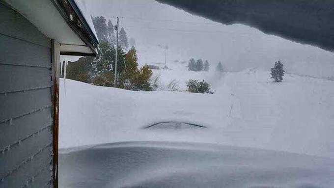
The heaviest estimated snow amount from this storm is 30 inches in Rocky Boy, Montana. Drifts in at least one location were estimated to be eight feet high.
Top snowfall totals as of Tuesday evening include:
- 30 inches in Rocky Boy, Montana
- 20.4 inches near Encampment, Wyoming
- 18 inches near Steamboat Springs, Colorado
- 16 inches near Cameron Pass, Colorado
- 15.8 inches near Havre, Montana
- Up to 15 inches near Breckenridge, Colorado
- 14 inches at the Vail Pass rest area on Interstate 70 in Colorado
- 14 inches near Redcliff, Colorado
- 14 inches in Zortman, Montana
- 14 inches in Cut Bank, Montana
- 13 inches in Havre, Montana (Havre City-County Airport)
- 13 inches near Rand, Colorado
- 12 inches near Laramie, Wyoming
- 10 inches near Avon, Colorado
The snow first affected the Colorado Rockies Sunday night into Monday.
Interstate 70 was closed in Colorado between Vail and Copper Mountain for a time Monday morning due to accidents and vehicles sliding off the icy road. Shelters were opened to take in stranded travelers in the area.
More than a foot of snow accumulated in many locations, including an estimated 14 inches of snow that was measured at the Vail Pass rest area on Interstate 70 as of Monday morning.
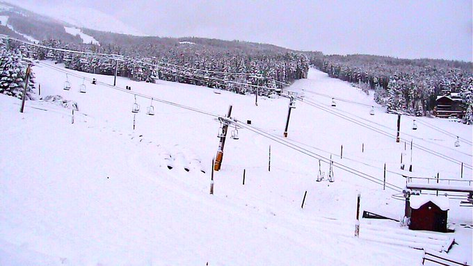
Several ski resorts in the high country of Colorado expressed their excitement about the snow.
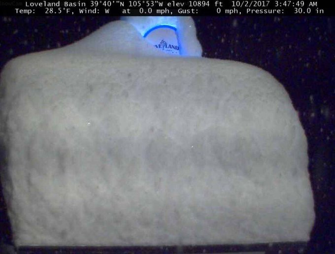
Loveland Ski Area provided this image showing how the snow had piled up on their measuring platform at an elevation of 10,894 feet before power was knocked out there. More than a foot of snow had been measured at that location by early Monday.
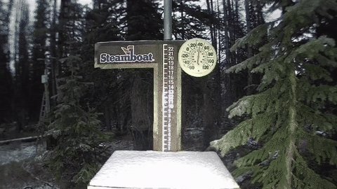
At Steamboat Resort in Colorado, their webcam captured 19 inches of snow piling up – the heaviest early-October snowstorm on record at the ski area.
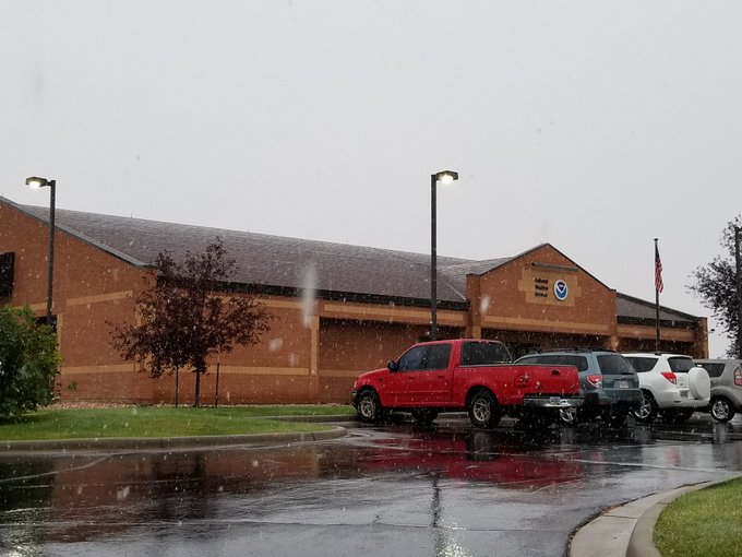
In southeast Wyoming, the first snowflakes of the season were observed in Cheyenne on Monday morning. This coincides with the date of when the average first measurable snow has historically occurred in Cheyenne – Oct. 2.
Heavy snow was observed in northwest Wyoming on Togwotee Pass, where around 2 feet of snow had piled up by Monday evening.


No comments:
Post a Comment